Getting to Birdsville by Road
Making the drive to Birdsville by road will etch a lifetime of memories, no matter which route you choose.
Roads Reports & Travel Information
-
South Australian Outback Roads (SA Government)
-
Queensland Road Condition Report (Live map via the Queensland Government)
-
Birdsville and Strzelecki Tracks Road Report (SA Government)
-
Birdsville Track Trek Report (ExplorOz Website)
-
Strezlecki Track Trek Report (ExplorOz Website)
-
Diamantina Development Road Updates (ExplorOz Website)
-
Arrabury Road and Cordillo Downs Road Forum Updates (ExplorOz Website)
Crossing the Simpson Desert
Travel Routes
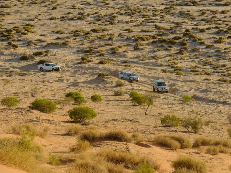
Once Australia’s most hazardous stock route, the Birdsville Track is still an unsealed road but maintained so that you can travel in either a 4WD or SUV with a caravan or camper trailer. The road conditions can vary and you may find yourself travelling over a diverse range of surfaces from sand dunes to gibber pains. Watch out for ponded water after heavy rains.
Points of interest include Lake Harry ruins, Clayton Bore campsite, Cooper Creek, Old Mulka ruins, Mungerannie Hotel, and Mirra Mitta Bore.
For the more adventurous, take the Birdsville ‘Inside Track’ for some spectacular desert scenery. This 146kms diversion just past the Clifton Hills turn-off makes the journey to Birdsville 35kms shorter overall and takes you past Goyders Lagoon. However, the road is often unpredictable and stone guards on your trailer and rear window are recommended if you’re towing.


